


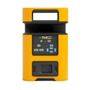
Description
The GP-39 GPS navigation system from Furuno facilitates an accurate and reliable positioning of the situation due to the union of the 12-channel GPS system with the advanced SBAS technology (WAAS / EGNOS / MSAS).
The GP-39 model has different ways of displaying data such as: Plotter, Highway, Government, NAV data, Monitor, Satellites, etc. This data is displayed on its 4.2 “LCD screen with high definition and color. This device is capable of storing up to a total of 3,000 points of defeat of the ship, 10,000 waypoints and up to 1000 trajectories with a total of 30 waypoints each. Waypoint and route references are easy to manage and store. In addition these can be imported and exported through a USB Flash connection or a signal converter.
This GPS model has a very simple handling, facilitating its manipulation to the user. In addition, it can be connected in a network with different devices, such as different models of fishing probes, sonars, radars or any other model of navigation equipment in order to provide highly accurate information about navigation.
PRODUCT CHARACTERISTICS
As already mentioned, this GPS model has different characteristics that make it a great service product for all users who use it, some of them are the following:
MODES OF PRESENTATION
This product can display the data in different formats to suit the requirements of the navigators. The modes are all the following:
Plotter: shows the trace of the own ship’s defeat on a 2-dimensional positioning map. In addition, it offers information through graphic symbols.
Motorway: It shows the user a 3D view where the boat’s progress towards the defined destination (waypoint) is represented. This mode is very convenient when sailing on a direct course.
NAV data: This mode offers the user the status in which the receiver is located in addition to the position in both latitude and longitude, speed and heading on the background, date and time.
Government: this information is offered through a scale of delays.
Satellite Monitor: This function shows the condition of the GPS and GEO satellites (SBAS) together with their respective delay numbers and elevation angles.
COG (User presentation): Through this functionality the course on the background (COG) is shown through analog format and the speed over the background (SOG) in digital format.
Digital (User presentation): It is displayed in numerical format between one and four navigation data. In addition, these data can be selected from various sources such as Position, COG, SOG, etc.
INTERCONNECTION WITH FISHING / SONAR / RADAR PROBE
This GPS model facilitates position information to a fishing probe or sonar that is connected. In addition, it also displays the TLL (Latitude / Length of Target) statement of fishing probes or sonars on the network and can display the acquired information. Thanks to this, the location of fish banks is facilitated.
TRANSFER OF DATA FROM WAYPOINTS AND ROUTES
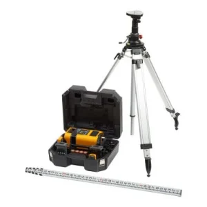
The waypoint information data, routes and configuration information have the option of being both imported and exported via USB Flash between GP-39 units. If you previously owned a GP-32 GPS system from Furuno or you want to transfer information between ships, the information contained in the same model can also be transferred to this new GP-39 model through a signal converter.
TECHNICAL SPECIFICATIONS
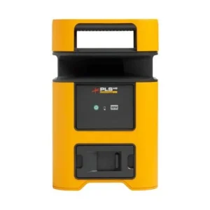
Screen size: 4.2 “color LCD
Type of Receiver: GPS: 12 channels in parallel, tracking of 12 satellites, C / A code, all in sight. SBAS: 2 channels
Power: 12/24 Vcc
Ports: NMEA 0183
Antenna: GPA017 with 10 meters of cable
Sealing: IP55 (Presentation unit)
Multilanguage
The final price of the product varies according to the characteristics of each of the offered versions.
For more information contact us through our contact


Reviews
There are no reviews yet.